
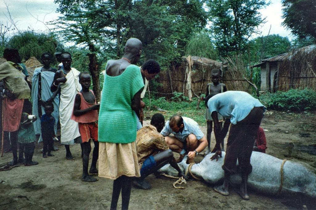
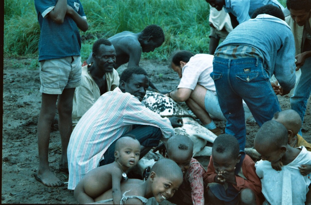
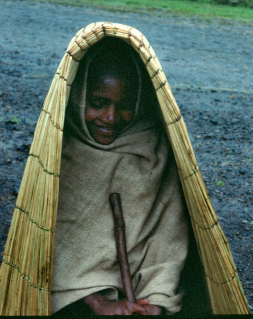
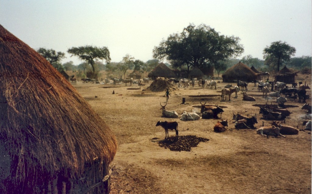
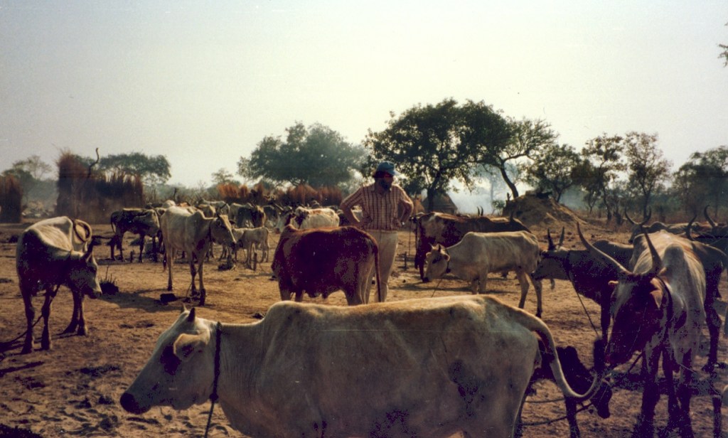
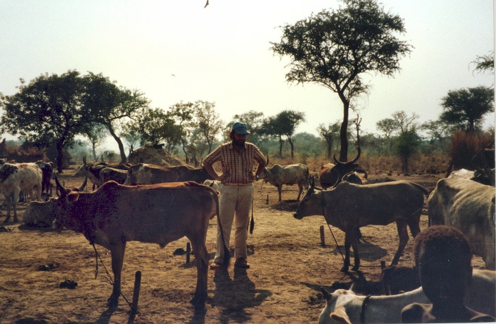
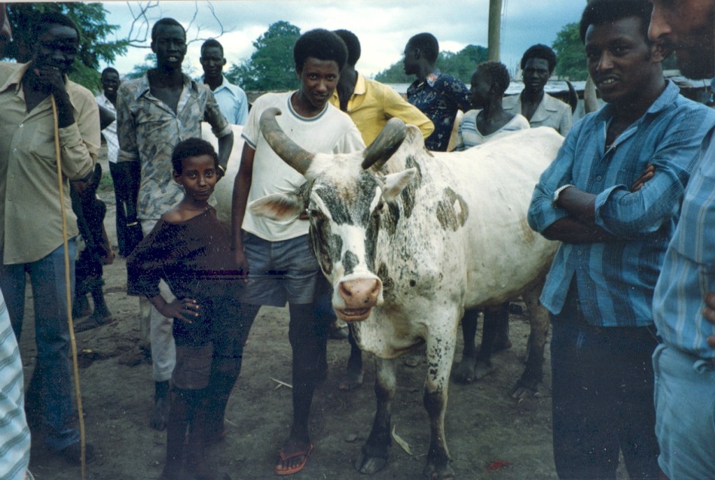
Our tick (and later tick-borne disease) studies took us to different places of south-western Ethiopia “officially”, so we took advantage of these trips to get to know the area we were living. In our selected sites (Arjo, Bedele, Metu, Gambela and Fincha’a) the project had purchased some cattle from the local farmers, and they were keeping them for us to assess tick numbers at monthly intervals.

Fincha’a was located 295km north of Bedele, after driving through Arjo. This was a long drive that we did a couple of times. At 2300m Fincha’a was a rather cold and also damp place.
The latter was probably explained by the existence of a dam that, for a while after its inauguration in 1973, was the largest hydro-electric project in the country. The visit I recall took place during the rains and it rained all the time we were there! This did not help our work nor our potential sightseeing!
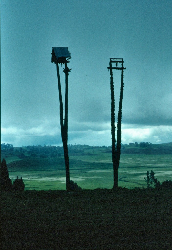
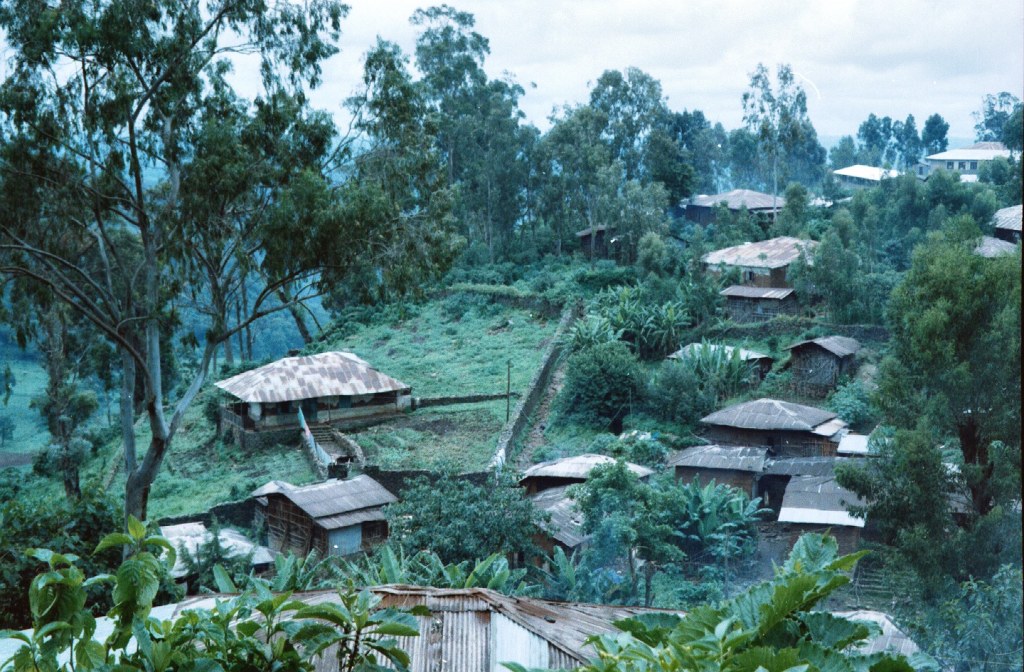
Despite the bad weather, along the road leading to the town we started seeing tall structures built with very long wooden poles and erected by the side of the road. On the top they had a little house and we were very puzzled by them, guessing that they had some religious significance but unsure of their real meaning.
We got to Fincha’a under rain and, while we checked in our rather basic hotel, my colleagues went to arrange for the tick work to be carried out the following day. The hotel was a basic affair to put it mildly with walls that enabled the sounds from the three rooms on each side of us to be heard! However, aware that that was the best hotel (and probably the only one?), we decided to make the best of it.
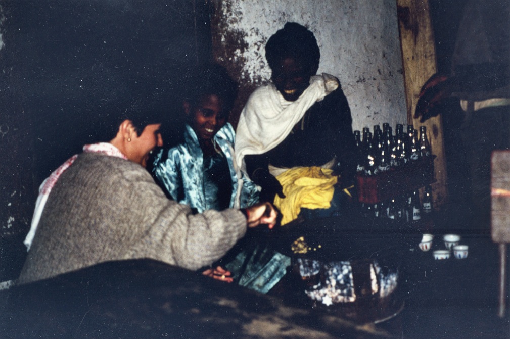
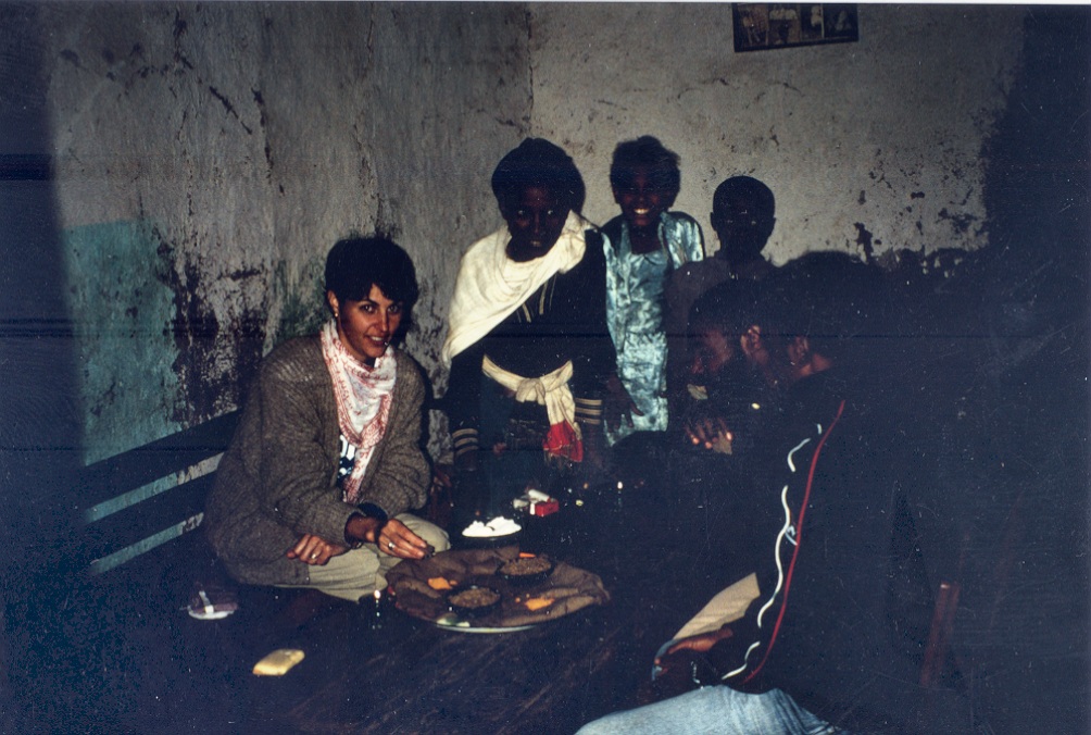
The hotel did not offer dinner so that we had to venture on the street to find an eating place and we ended up at a small restaurant where we were the only customers! Luckily it was a really warm place both because of the welcome we got from the family that owned it and thanks to the cooking that was taking place inside. Soon, after chasing the chickens away from the room, we joined in the kitchen activities and learnt a few things.

Apart from food-related information, the lady informed us that the tall wooden structures we had seen were erected by local hunters that would travel east towards the Nile to hunt and, on return, they would build these “shrines” where the buffalo skulls would be placed on display to show their ability. I haste to add that I have not been able to confirm this information beyond what I was told at Fincha’a.
We ate hot (both temperature and taste) local food and had a reasonable night sleep. The following morning, we did our work under rain (not a very pleasant activity as the water runs down your back…) and we were soon on our way back to Bedele, looking forward to our warm and dry bungalow.
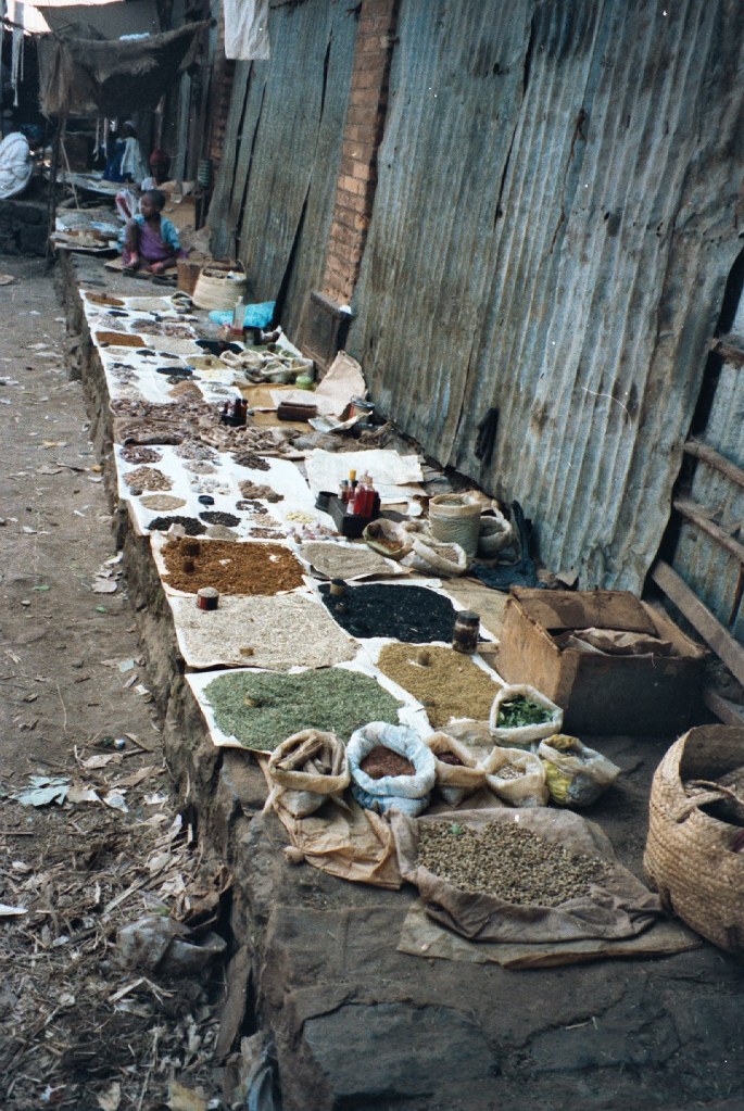
We also often travelled East, following the B50 road that, at the time, I did not know it had a name! After about 115km from Bedele we arrived at Metu where we did not stop until we discovered that there were some Cuban doctors working at the Metu hospital.

They were part of the well-known contingent of doctors from the island that are found in many places in Africa, often in areas that no one else wishes to be! We learnt that among them many specialities were covered and this boosted our confidence in case of a health problem as the facilities that existed in Bedele were rather limited. Luckily, we only visited them socially and we did not need their services.
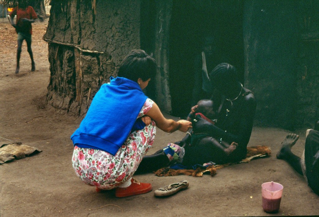
Their presence was clearly justified judging by the number of people suffering from serious diseases that we found on the road. Apart from the blind being led by holding sticks by young relatives, many young boys and girls showed cases of tinea (ringworm) and scabies. These were mostly treated with Gentian violet with the consequence of lots of purple-stained heads around! Goitre was rather common and even severe cases of elephantiasis could also be seen.
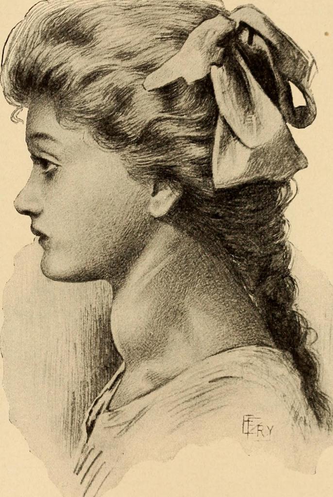
A mild case of goitre. Credit: Internet Archive Book Images / No restrictions. 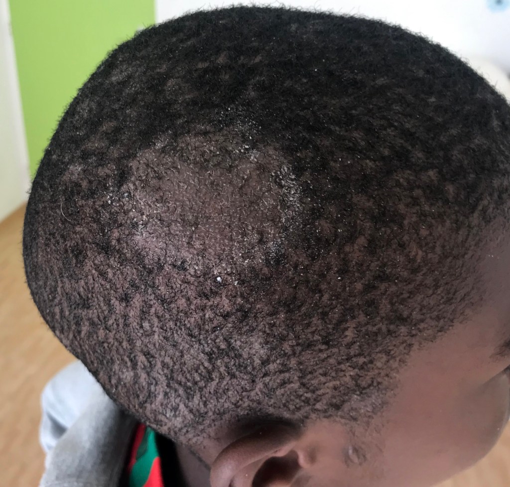
Tinea. Credit: Gzzz / CC BY-SA (https://creativecommons.org/licenses/by-sa/4.0)
Following the road to the south-east we would come to Gore, a larger town that became known as it was the capital of Ethiopia for a short while. It happened during the Italo-Ethiopian war fought between 1935-1937. In 1935, the Italians attacked from their colonies of Eritrea and Somalia without declaring the war. After conquering Aduwa, they seized Aksum [1] and then moved on Addis forcing Emperor Haile Selassie to leave the country (taking the gold of the Ethiopian Central Bank with him!).
Before leaving he ordered that the capital of Ethiopia to be moved to Gore and appointed his cousin Ras Imru Haile Selassie as Prince Regent during his absence. The latter fell back to Gore to reorganise and continue to resist the Italians but his efforts were fruitless and Gore was occupied at the end of 1936. Ras Imru, with his forces trapped between the Italians and the Sudan border surrendered and he was flown to Italy and imprisoned on the Island of Ponza. So that was Gore’s claim to fame although the town did not have much to show for its history.
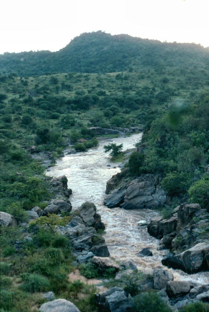
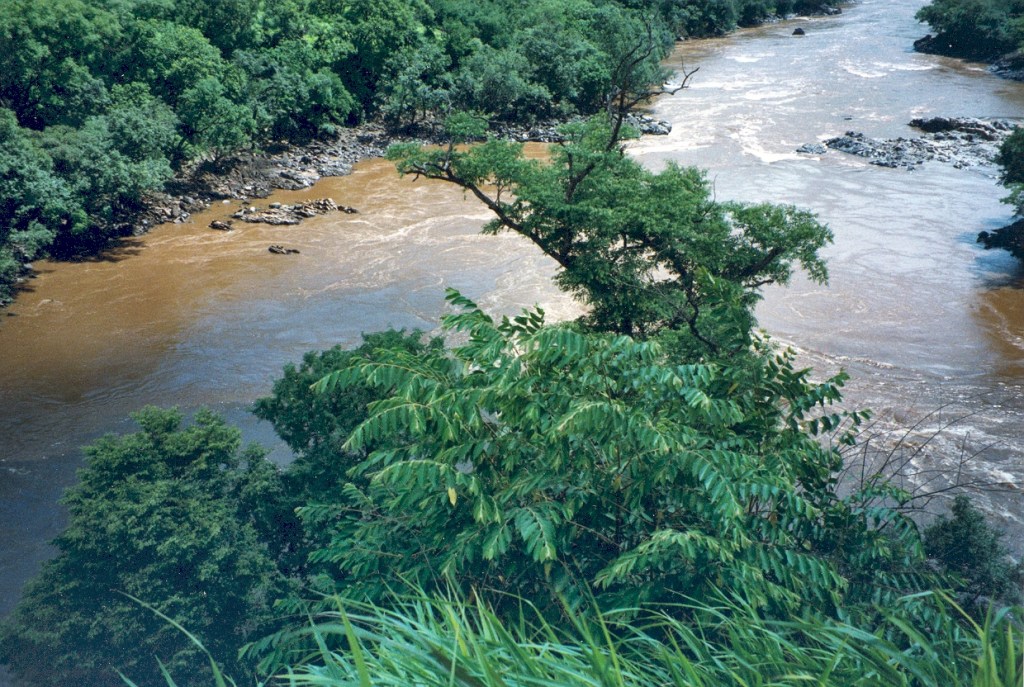
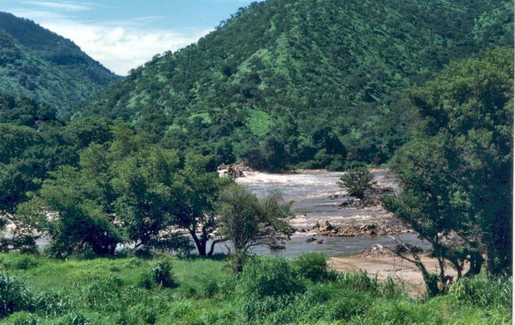
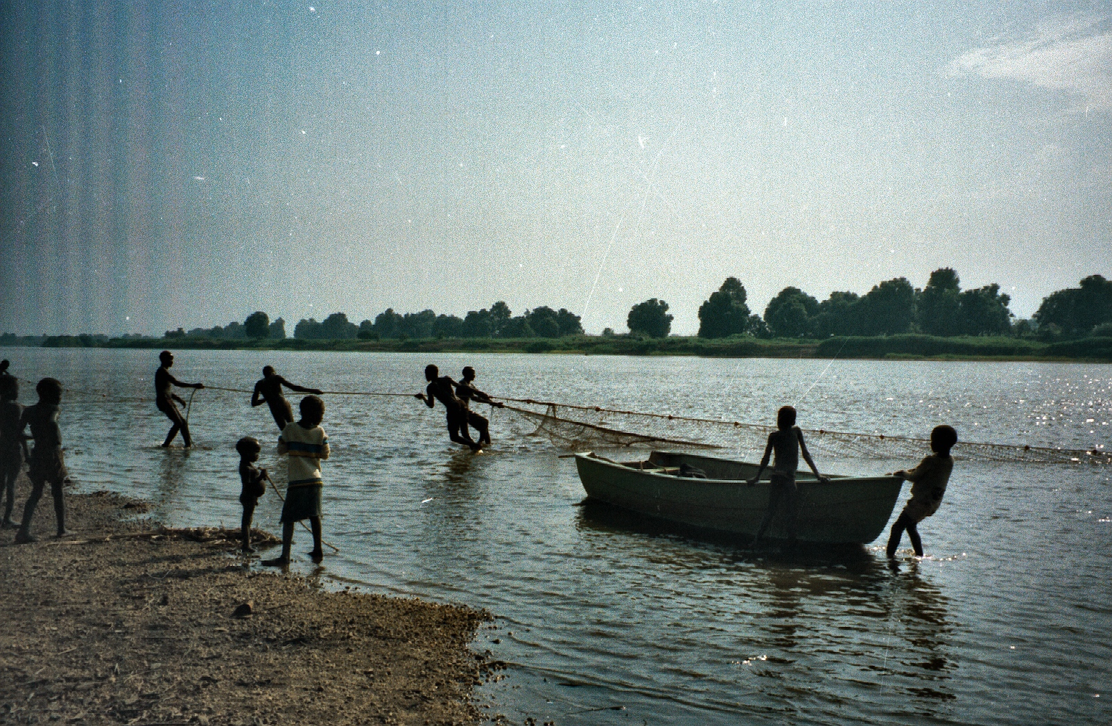
Leaving Gore behind, we would drive another 150km west on a wide, dusty and mostly downhill road full of curves following the course of the Baro river towards the Sudan border. The road offered magnificent scenery where we often stopped to stretch our legs and have a look a the rather clean waters of the river.

The heavy relief lorry traffic aiming for the refugee camps in the border with Sudan did not help our progress. Going towards the refugee camps in the Gambela area loaded, they would come back with the trailers “piggy-backed” on the same tracks, the first time I saw this really clever saving technique.
Eventually, full of dust and rather edgy with the road and its traffic, after crossing a large bridge over the Baro river, we would arrive to the town of Gambela, a completely different seen when compared with where we were coming from as Gambela, at 526m was a tropical area, particularly when arriving from Bedele located at almost four times that height!

Gambela, located at the confluence of the Baro river and its tributary the Jajjabe was founded because of its location on the Baro river, a tributary of the Nile, which was seen by both the British and Ethiopia as an excellent highway for exporting coffee and other goods from the fertile Ethiopian Highlands to Sudan and Egypt.
Already while crossing the river it was apparent that everything was different but most of all the people that inhabited the area. Although there were some from the highlands, most of them as a result of the ruthless resettlement schemes, this was the territory of the Anuak and the Nuer, people that we had not seen before in the country.
The Anuak belong to the Luo Nilotic ethnic group. They are primarily found in villages situated along the banks and rivers of southeastern South Sudan as well as southwestern Ethiopia, especially the Gambela Region. Group members number between 250,000 and 300,000 people worldwide, many of them following Christianity. The Anuak are an agricultural people, although most families keep some livestock. They are keen on fishing and they set up temporary fishing villages in times of fish abundance.
The Nuer are also of Nilotic origin and inhabit a similar area than the Anuak. Their language belongs to the Nilotic language family and they are closely related to the better known Dinka ethnic group. They are pastoralists who herd cattle and the cattle define their way of living.

Both races are very tall [2] and we often watched them in amazement playing basketball at night (too hot during the day) in the local open courts in Gambela thinking that they would be sought after by the National Basketball Association (NBA) and not knowing that they had done so. Manute Bol, a Dinka of 2.30m (one of the tallest players in the history of the NBA), had been playing for the Washington Bullets since 1985!

The Nuer receive facial markings (called “gaar”) as part of their initiation into adulthood. These consist of scarification that varies within their subgroups, the most common among men being six parallel horizontal lines cut across the forehead although dotted patterns are also common. The scarifications helped me to distinguish people from the two groups and enabled me to greet them properly in their language, “male” to the Anuak and “derejote” to the Nuer.
I will come back with more experiences from Gambela in future posts.


[1] Italian soldiers found one of the Axum obelisks (stelae) (King Ezana’s) fallen and broken in three sections, one of about fifty obelisks in the city of Axum at the time of the discovery. In 1937, it was taken as war booty and moved to Italy after being cut into five pieces and transported by truck to Massawa from where it was shipped to Naples. It was then taken to Rome, where it was restored and erected in front of the Ministry of Italian Africa (later the headquarters of the FAO) where I saw it (pic is already in Media and I found it looking for Rome). It was eventually returned to Ethiopia in 2005.
[2] See: Chali, D. (1995). Anthropometric measurements of the Nilotic tribes in a refugee camp. Ethiopian Medical Journal 33: 211-7. Among other things, the study concludes that “…The mean height of Dinka men (176.4 +/- 9 cm) and Nuer men (175.7 +/- 9 cm) were significantly higher than that of Anuak men (171.7 +/- 8 cm) and Shilluk men (172.6 +/- 6.1 cm). This study confirms that the Nilotics in Southern Sudan have slender bodies and are amongst the tallest in the world and may attain greater height if privileged with favourable environmental conditions during early childhood and adolescence, allowing full expression of the genetic material…”
